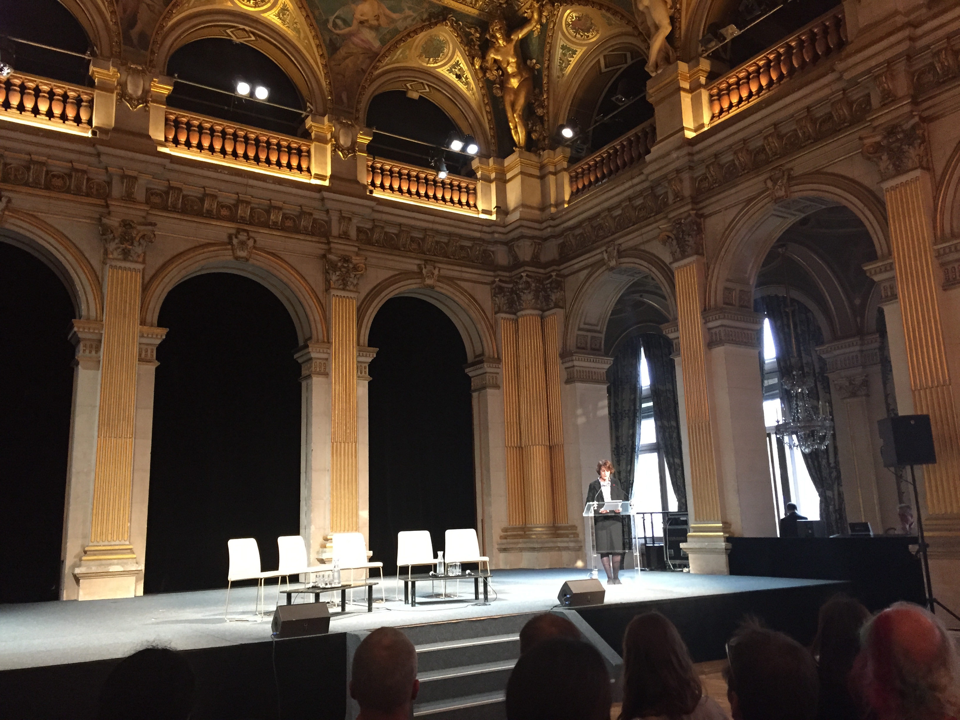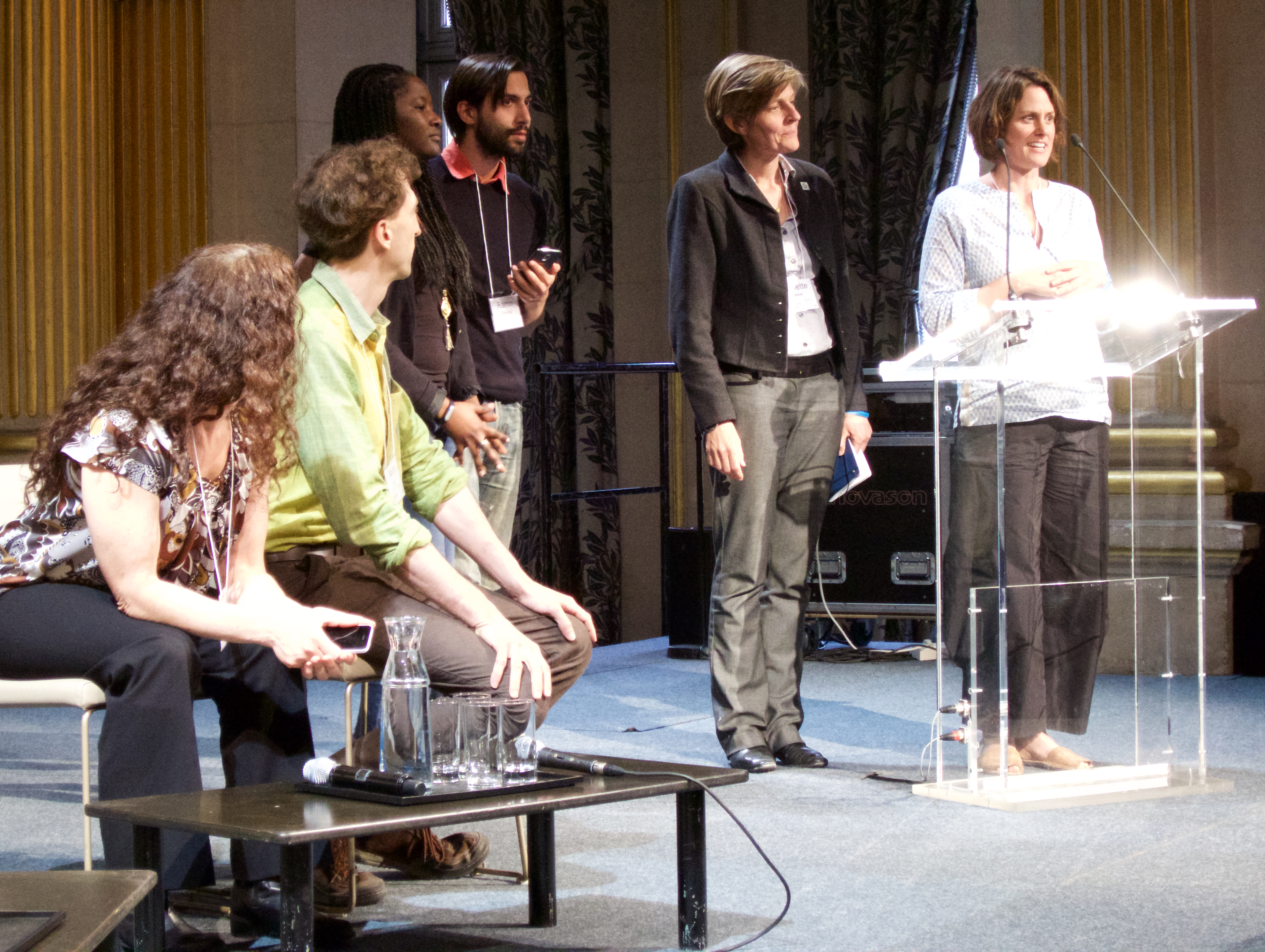
One of the events at the Sage Assembly in Paris this year was the group design sessions to try to solve “problems of the city” after the Charley attack. Paris is still in shock and the city is trying to do something to heal itself. My group, led by Arno Klein of Sage Bionetworks, was charged with finding ways of using crowdmapping to help find some interesting solutions. This was a complete blue sky session. And our ideas were presented by Arno at the Hotel De Ville in Paris.

Here are my prep notes for this event.
Cities generate an enormous amounts of data: parking tickets data; water consumption data; number of riders using public transportation per hour per location; etc. But most of the data stays locked within isolated databases inside frequently competitive city departments. There are several cities that are trying solve the data silos problem. Palo Alto, CA, created a city API and open-sourced all city data to allow its citizens to discover problems and develop novel solutions.
One of the prevailing problems, even after the break down of data silos, is that the data is not normalized, making it very difficult to manipulate. Data normalization can be mandated by the city, but it will require a significant effort (since even things like street address data fields tend not to be compatible between various city departments). For a very interesting discussion on city data, please watch TED talk by Ben Wellington, “How we found the worst place to part in New York using big data”.
There are several ways to present city data to its citizens. One is geographically — mapping individual issues to a particular location, allowing individuals to browse the information via a map. Another way is time-based via time lines — creating a narrative of events, allowing individuals to browse information via stories. Both formats are valuable. Crowd-mapping platforms like Ushahidi allow time to become one of the dimension by which to examine the maps of information they produce. But the time dimensions is a difficult one to take at a glance. Maps are more effective at delivering a fast-hitting visual information.
Ushahidi is primarily a crowd-sourced platform — people contribute individual data points to create something together that wouldn’t be possible by a single person. But Ushahidi can also be used by a city to compile data for its citizens.
Optimally, it is a combination of city data and citizens crowd-sourced data that make for the best experience. I believe citizens want to feel like partners with the city. People would like to contribute to the discovery of issues and to the solutions. But like all partnerships, city and its citizens partnerships have to be mutually beneficial, practical, cost-efficient, and fun. Yes, fun is an important component — it is part of what makes a project sustainable over time.
Data problems like lack of normalization make project NOT fun (again, make sure to check out the TED talk above). Data silos is another obstacle — some of the most interesting solutions (and problems) can only be discovered when disparate data sets are united. For example, childhood obesity mapped with availability of low-cost fresh fruits in a neighborhood stores can create citizen movements that change food distribution and spark conversations in the doctors’ offices and classrooms. My sons’ project, CostofChicken.com, was just such an attempt by high school students in San Francisco. They wanted to find “food deserts” and map them to average socio-economic conditions of those neighborhoods.
And this bring me to yet another unused resource — school children. The Cost of Chicken project was part of the economics class in a San Francisco high school. School children are capable of real scientific data gathering and analysis. Children focus on hyper-local problems: my bedroom, my home, my street, my playground, my school, my neighborhood, my city. A lot of the issues that a city might be interested in — sidewalk safety, pavement conditions, trees and lawns, air quality, water quality, food availability, neighborhood safety, playground equipment, graffiti, garbage, potholes, streetlights, public urination, drug use, bullying, aging citizens without support, single parents, kids in trouble, etc. — are all within immediate attention of kids who live in the area. If we make it easy for them to collect the data and share it, if we make them feel like they are a seriously-considered local resource, they will provide the city with invaluable information. School children don’t only have time, but they have the dexterity with technologies. And the acquisition of data and its analysis can easily be made part of their curriculum: science, environmental education, health education, civics, statistics, economics, history — these are all subjects that can be incorporated and enriched by students hands-on involvement with city information.
Perhaps the paragraph above really belongs to the “Novel Education” team. But my point is that things are inter-related. It would be great to solve two problems with one solution! Back in San Francisco, I worked for 10 years on a hands-on science curriculum, Supermarket Science, that did just as I’ve described above — hyper-local educational projects that tied curriculum to students’ home lives. We worked with teachers and parents, as well as students, to gather such information as a biodiversity index of the school’s neighborhood — how many different plants grew in the 10 by 10 block area of the school? Mapping was a good tool to keep track of this information. But we did so much more. Students collected plant samples and tried to identify them. We analyzed the size of the plants versus their incident numbers as a way of understanding resources. And when we were done, students wrote stories and made art projects with their samples. We hosted in-school science fairs based on the work done by the older elementary school children and shared those activities with younger students. It was a great way to introduce a lot of science into an elementary school curriculum. And it would have been even better, if the city could use the data the students collected. (25 years ago, I developed a Galaxy Classroom project which tried to link science projects like the bio-diversity index count between 100 geographically distant elementary schools. A Harlem-based elementary school would have quite a different biome compared to a Berkeley-based school or and Alaskan wilderness classroom.)
Finally, city and citizen crowd-sourced data projects need to have some of the following characteristics:
1. CLEAR GOALS: The reasons for data collection need to be easily understood and deemed important and worth-while by both the city and its citizens;
2. WELL-DEFINED: Any time citizens are asked to participate in data collection, the scope of work needs to be clearly defined — no one like to volunteer for unknown amounts of effort and time;
3. SHARED: The results have to shared by all;
4. EMPOWERED: Individuals should be able to suggest novel ideas for data use and feel empowered to pursue their ideas;
5. RESULTS-ORIENTED: Data collection for its own sake is not compelling. People should feel that their efforts make a difference.
6. OPEN: Ideas, data, identified problems, and proposed solutions should be shared with everyone. People like to feel like they are part of something, part of a community, part of a group. So data and its many forms of representation and organization should be open to all.
7. PRIVACY-MINDED: That goes without saying…

At the Hôtel de Ville, presenting ideas for healing the city of Paris at the Paris Sage Assembly, April 17, 2015. From left: Jessie Tenenbaum, Arno Klein, A representative from the city, Ramin Farhangi, Annette Bakker, and Amy Clark.
